Geography
Intent
The world’s geographical features have shaped human lives at every point in our development. We believe that our young learners must be equipped with an understanding of where they live and how this compares to other places, yet we are also interested in understanding how the characteristics of a place can shape human experiences. Key concepts are explored time and time again as children move through the school and we reference these through an emphasis on vocabulary. The role of vocabulary within our geographical studies helps pupils to frame their understanding of new concepts in previous learning and allows them to create and experiment using full sentences packed with aspirational language and specialist terminology. Our incredible setting within the New Forest offers children unique opportunities to engage in practical, focused field work.
Implementation
We follow the 2014 National Curriculum and our expectation is that all children are showing progress in line with national expectations. It is the responsibility of each class teacher to monitor and ensure that this progress is made. The subject leader works with each teacher to monitor this progress and to ensure that sufficient challenge is given to each child.
|
|
Term 1 |
Term 2 |
Term 3 |
Term 4 |
Term 5 |
Term 6 |
|
EYFS
|
Signs of seasons and the weather run all year. |
|
|
Place knowledge of local area and school. |
Location knowledge of the world. |
|
|
Year 1 |
What is the geography of where I live? |
|
How does the weather affect our lives? |
|
Why do we love being beside the seaside so much? |
|
|
Year 2 |
|
Why does it matter where our food comes from?
|
|
|
How does Kampong Ayer compare with where I live? |
Why don’t penguins need to fly? |
|
Year 3 |
|
Why are jungles so wet and deserts so dry? |
|
Why do so many people live in megacities? |
How and why is my local environment changing? |
|
|
Year 4 |
Beyond the Magic Kingdom: what is the Sunshine State really like? |
|
|
Why do some earthquakes cause more damage than others? |
How can we live more sustainably?
|
|
|
Year 5 |
Why are mountains so important? |
|
How is climate change affecting the world? |
|
Why is fair trade fair? |
|
|
Year 6 |
|
Who are Britain’s National Parks for? |
|
What is a river? |
|
How do volcanoes affect the lives of people on Hiemaey? |
Impact
Teachers measure the impact of the curriculum through formative and summative assessment. From this assessment teachers will adapt and change their planning according to the needs of all of the children. Subject leaders will also measure the impact of the curriculum through learning walks, pupil voice and teacher surveys. Individual pupil data, in accordance with objectives within the National Curriculum, is collected and analysed three times a year. This data is recorded on the school’s electronic data base (INSIGHT) to monitor attainment and progress.
Home learning links.
Beginners
Here is a beginners guide to Mapping Skills - EASY MAP READING or check out MapZone
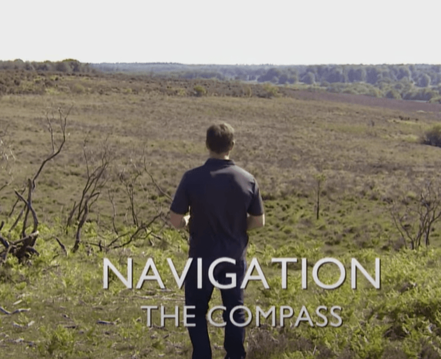
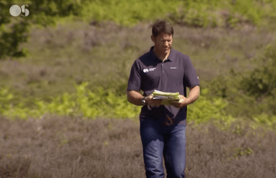
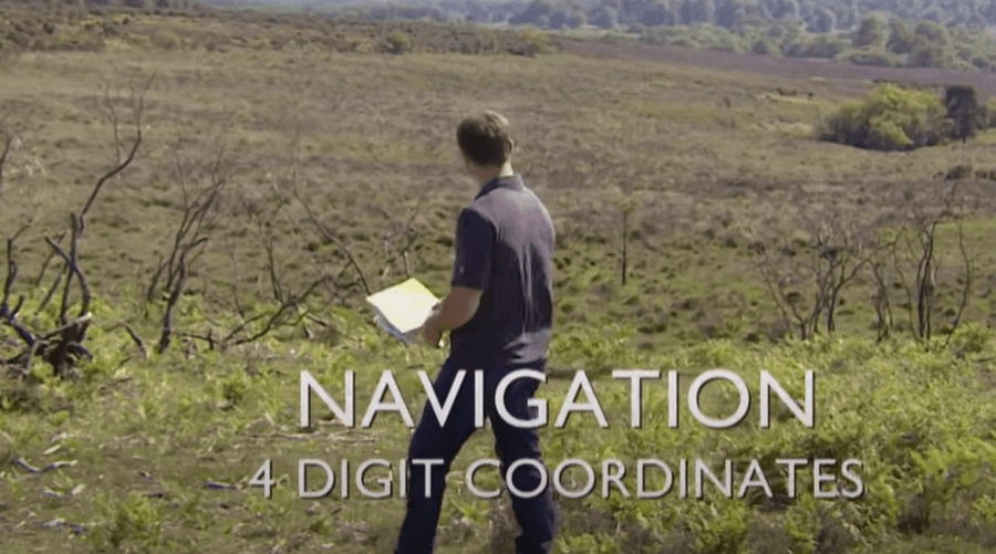
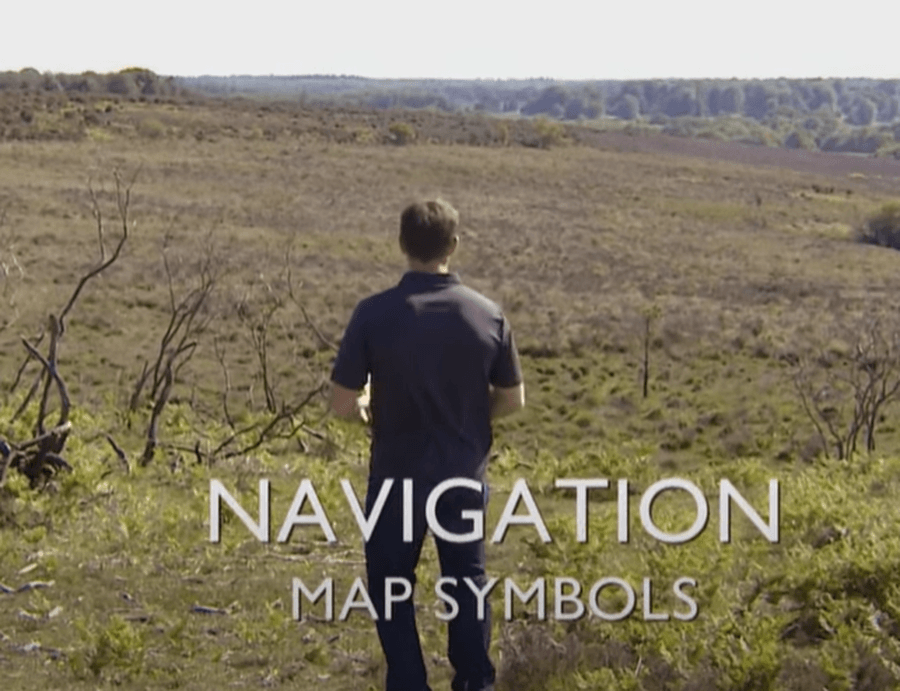
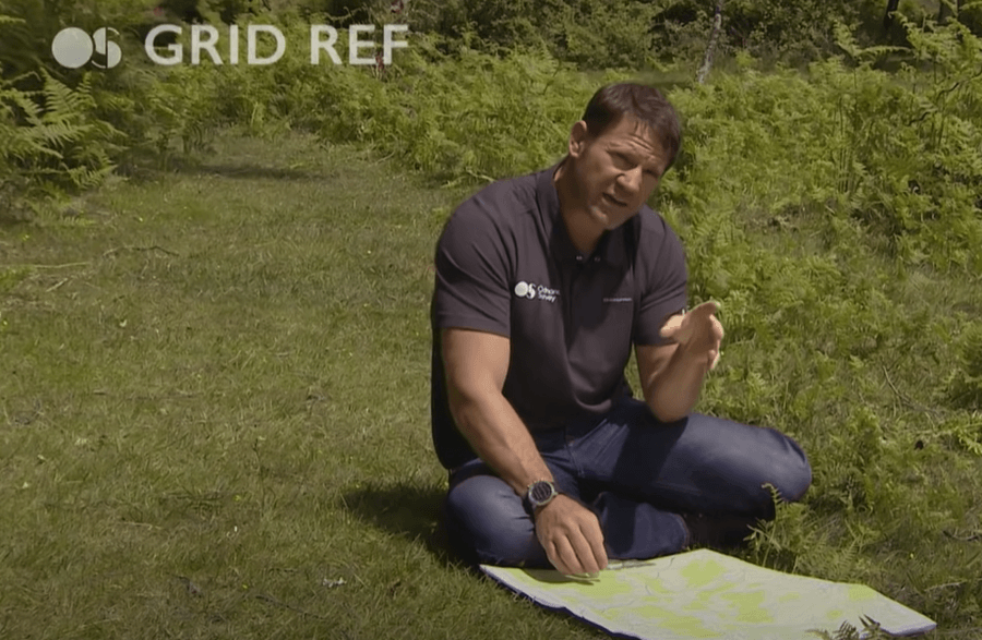
Map reading skills video series
Steve Backshall - of CBBC Deadly 60 - filmed a series of SHORT videos set here in the New Forest for map makers Ordnance Survey.
Choosing a map video on You Tube
Four figure grid reference video on You Tube.
Improving map reading
Ask your teacher for the school's Digi Map login details. Digimap for Schools is a cool resource from Edinburgh University and Ordnance Survey. You will use it throughout KS2 and secondary school. Ask your teacher for the tuition video on how to use Digimap.
Advanced map reading - using a compass with Steve Backshall. Features of a compass video on You Tube. Learn to take a compass bearing video on You Tube